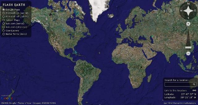
Flash Earth gives the users ability to move the map, rotate the map and zoom in or zoom out the map. You can also search for a location or point. The functionality is quite limited, if compared with full fledged Google Earth program, however it should appeal to users who like simplicity or those who can’t install Google Earth, or users who want the ability to easily view multiple imagery from various source with just a click. Latitude and longitude are always displayed, and users can click on Link to this location that generate a URL (link location) in address bar that will always locate and point back to the location pointed by the focus currently, when loaded or clicked by another users, allowing easy sharing of interesting map finding with other users.
Update: Flash Earth no longer includes Google Earth as source. Besides, Google Earth now supports viewing on web browser via a plugin.


