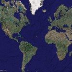
Geoportail.fr allows users to zoom in on map images to a maximum resolution of just 50cm, which provides about the same detailed resolution if not better resolution provided by Google Earth in the US. Geoportail.fr online map service will have 400,000 images from aerial photographs taken over the past five years, along with 3,700 detailed maps. The maps can be viewed for free, but the higher resolution may need a license fee.
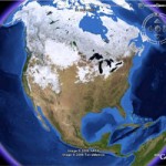
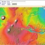
Unlike Google Earth which is a application based mapping program, Geoportail.fr is a web map service which has to access online. Similar to Google Earth mapping program, Geoportail.fr offers various views and users can switch from aerial views of a site to detailed view, charts, topology maps and geological data. Features earmarked for the future include more geological data and 3-D images.
View detailed maps and images of France with Geoportail.fr.

